-40%
Original Antique Civil War Map:Gettysburg & Petersburg & 1852 Map Middle States
$ 21.09
- Description
- Size Guide
Description
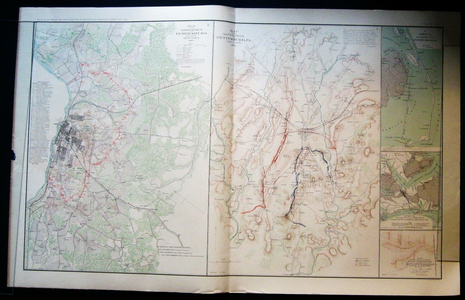
Maps of two of the most pivotal engagements of the Civil WarGettysburg & Petersburg
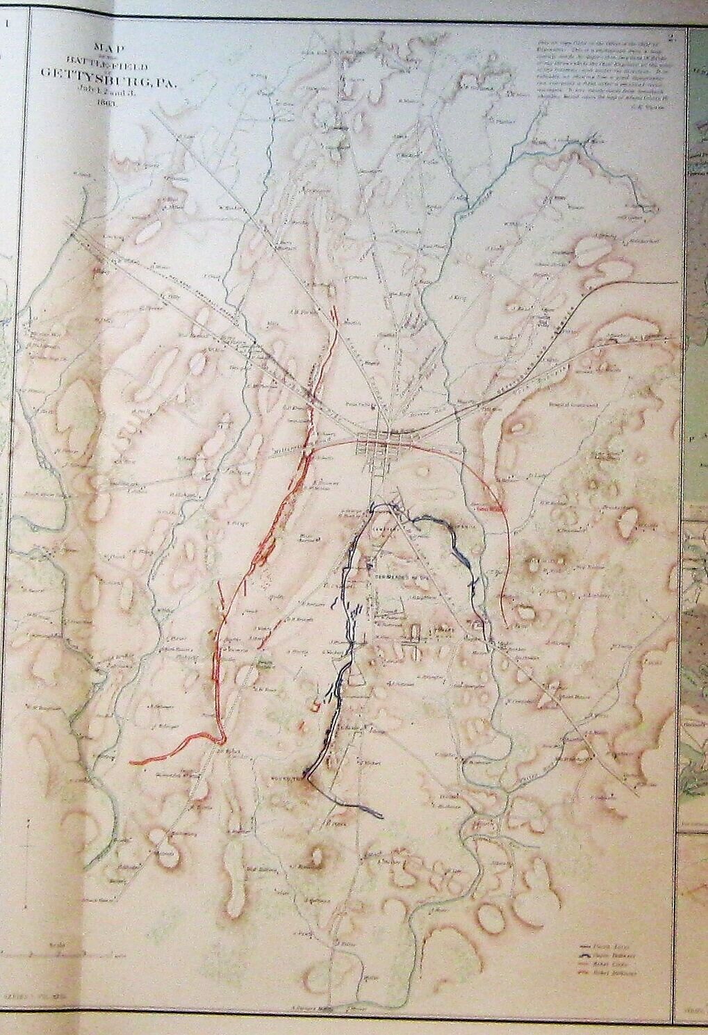
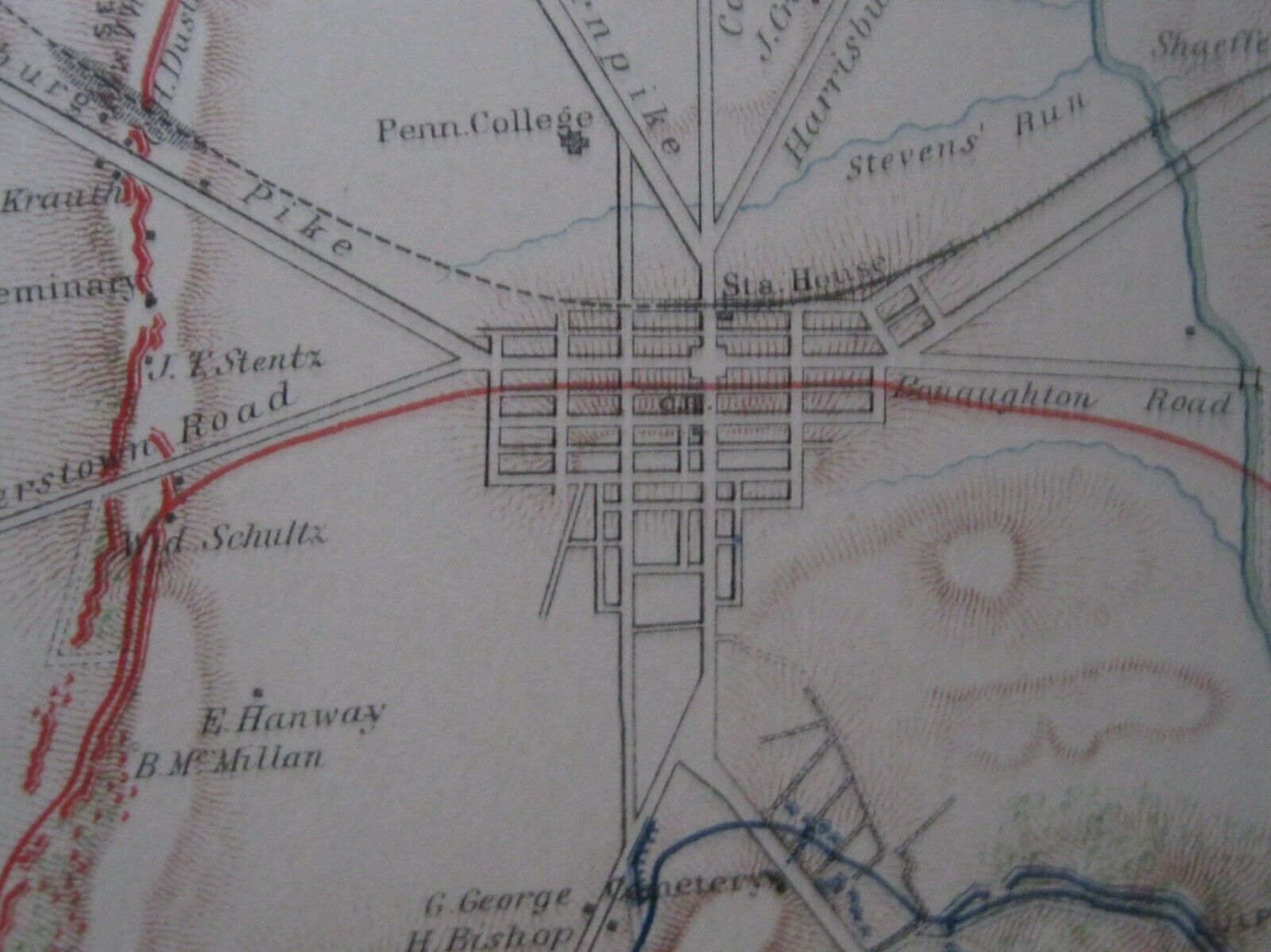
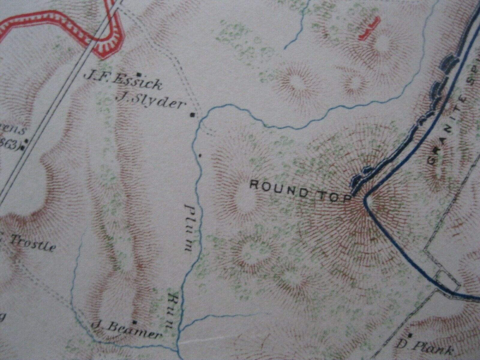
The Battle of Gettysburg, PA was the turning point of the Civil War.
Lee thought he could basically end the war with
de
cisive
surprise
victory in the Union north.
Instead in the one of the bloodiest battles
of the war he was
decisively
defeated.
If not for Gen. Meade's reluctance to immediately pursue Lee's army after the battle the war may have quickly ended in a Union victory. Unfortunately the war dragged on for two more bloody years.
***
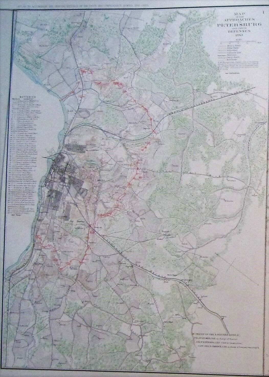
The siege and fall of
Petersburg was the last major battle of the war.
Lee was able to escape but the rebel capital of Richmond would fall within a month.
Maps 1 & 2 show:
Approaches to Petersburg and their Defenses 1863;
and the
Battle-Field of Gettysburg, PA., July 1, 2, and 3, 1863
An impressive
historical resource and/or a
conversation piece
to be displayed on
any wall.
29.5" x 18.5"
it comes from a
Rare Original Lithograph Plate XL (40)
from
"The Atlas to Accompany the Official Records of the Union and Confederate Armies":
Commissioned by Resolution of Congress May 19, 1864,
in accordance to serve as the official historical record of the Civil War.
The Atlas from which this plate was taken was never publicly sold but exclusively distributed to federal depositories, universities, museums and various public institutions until they were withdrawn from these institutions and entered the public domain years later.
The atlas still remains the definitive source of Civil War information available.
It was published between 1891 and 1895
also shown are maps 3-5
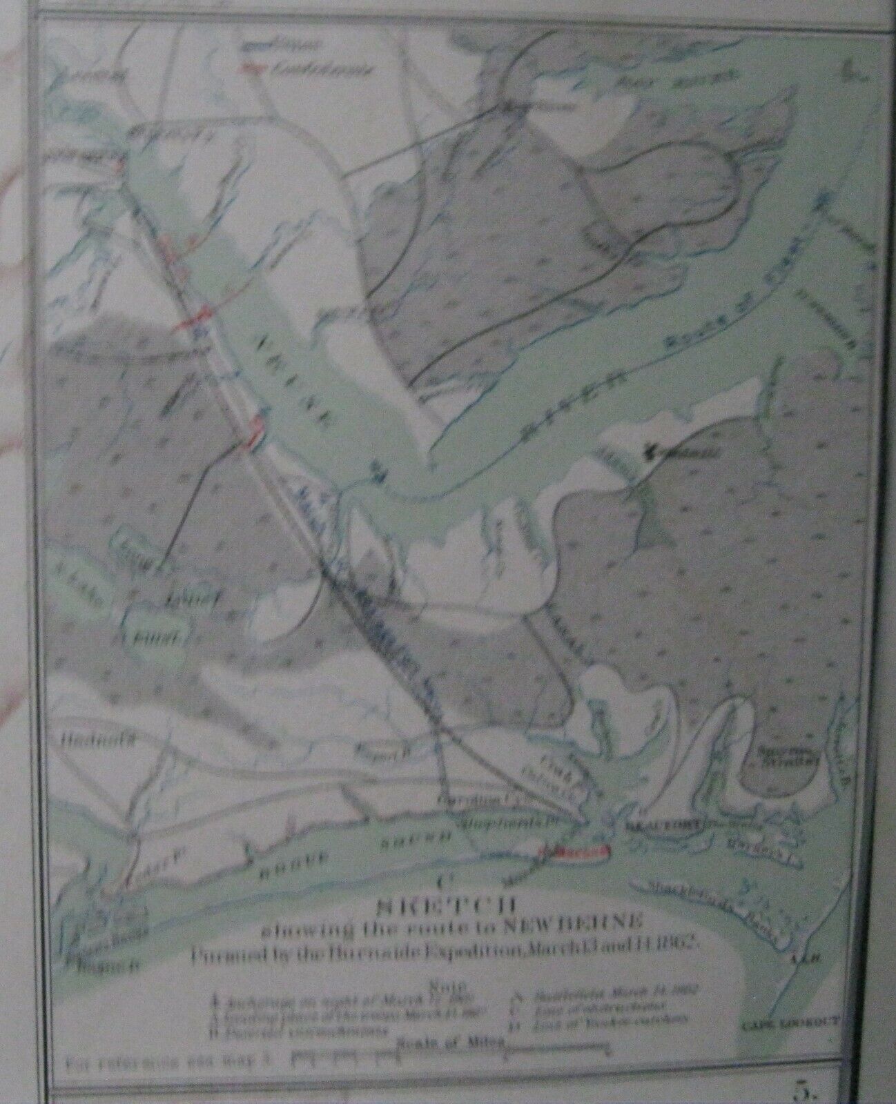
3)Sketch showing the route of the Burnside Expedition; 4) Sketch showing the route to New Berne Pursued by the Burnside Expedition , March 13 and 14, 1862; 5) Map showing the position of Maj. Gen. S.G. French's Forces at Lovejoy's Station, GA, from Sept. 3d to Sept. 8th, 1864.
*****
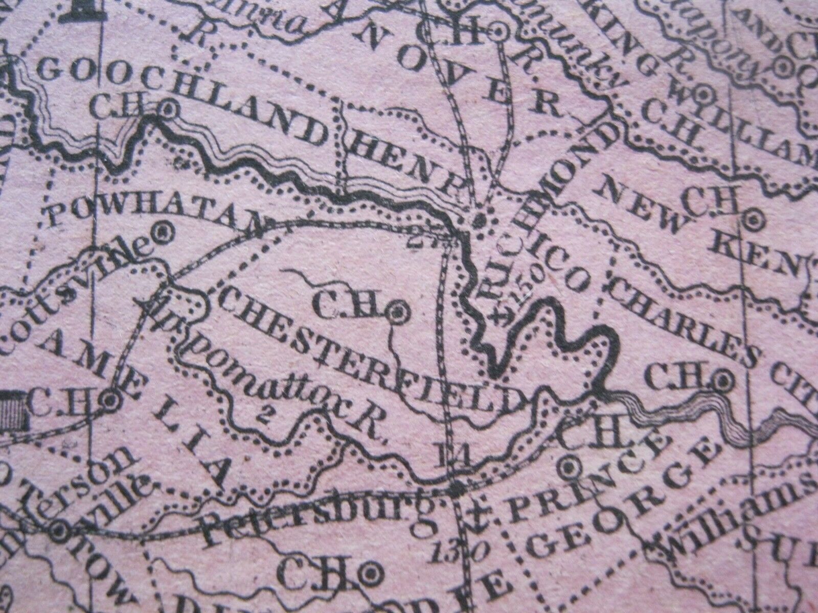
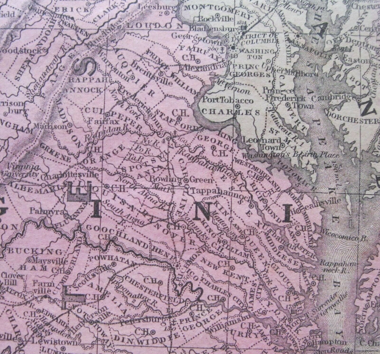
In addition to see the relationship between the various location of these events
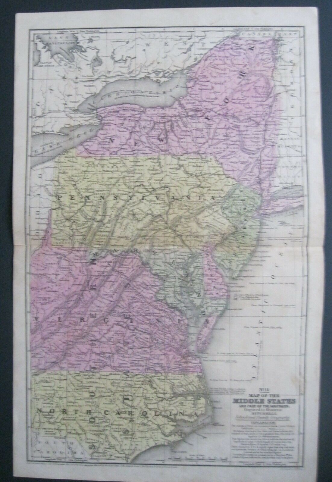
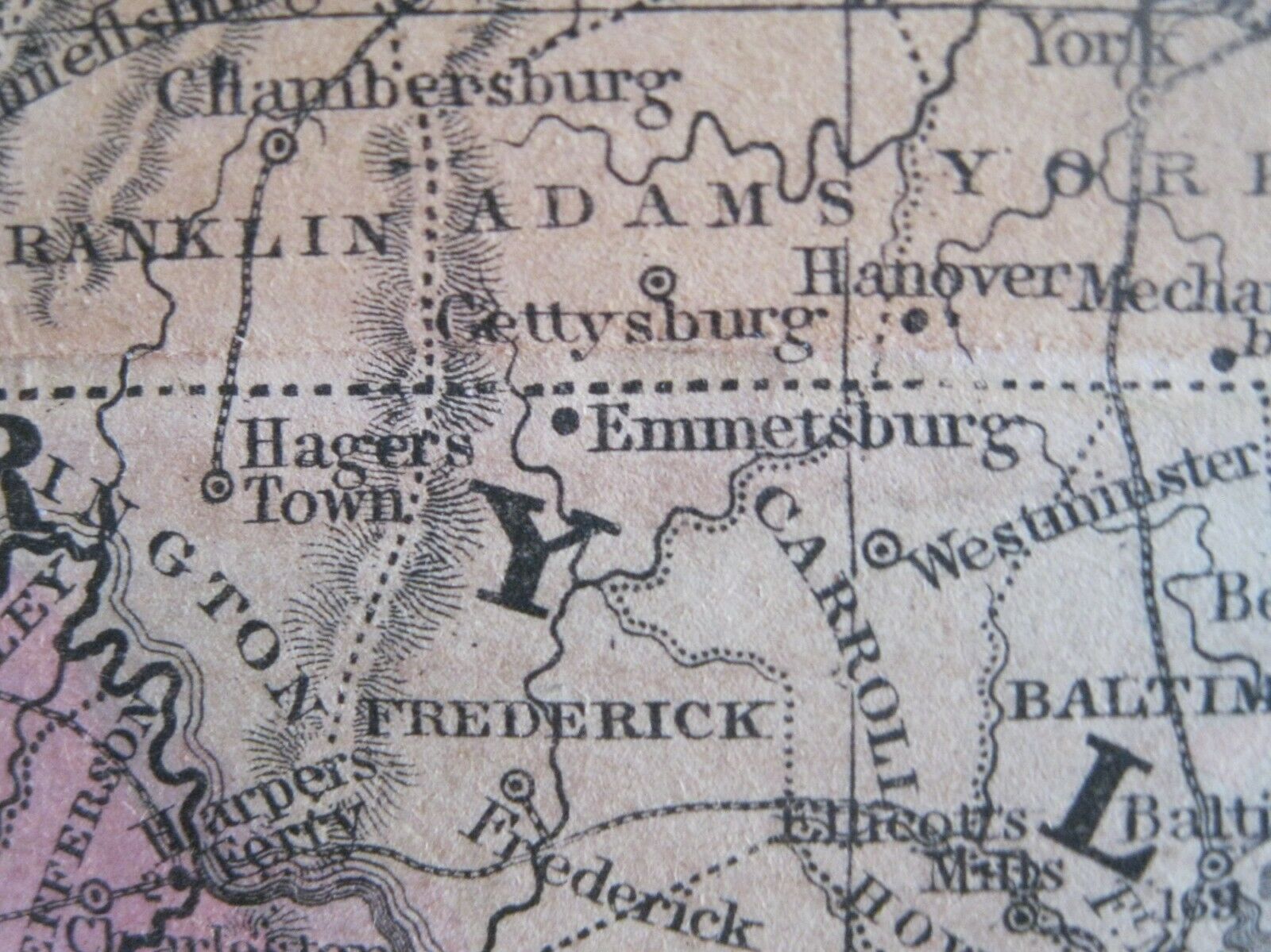
a detailed 1852 Mitchell pre-war map of the middle states is included
Approximate Sizes:
Double-fold Page: 11.65" x 17.75"
Map image: 10.5" x 16.0"
Samuel Augustus Mitchell
(1790-1868)
Samuel Augustus Mitchell
was a renown American geographer. Born in Connecticut he worked as a geography teacher but soon realizing there were only poor quality geographical resources available to teachers he turned to publishing. He moved to Philadelphia, a major center for publishing at the time, around 1830 and founded his company. It becoming one of the leading map and atlas publishers of the nineteenth century being one of the first to try out the new technique of engraving on steel plates. He experimented with steel almost 20 years before the rest of the publishing industry. This map was made prior to his son, S. Augustus Mitchell, becoming owner in 1860.
This historically significant map
has strong color and a very rich patina that would frame up with an antique quality.
****
These maps are
a great addition to any collection of
Antiques
Maps
Civil War History
or
Research

